The trailhead is located at the Calf Creek campground, which is located on Scenic Byway 12 about fifteen miles east of Escalante. Calf Creek’s waters originate in the Boulder Mountains and flow into the Escalante River drainage.

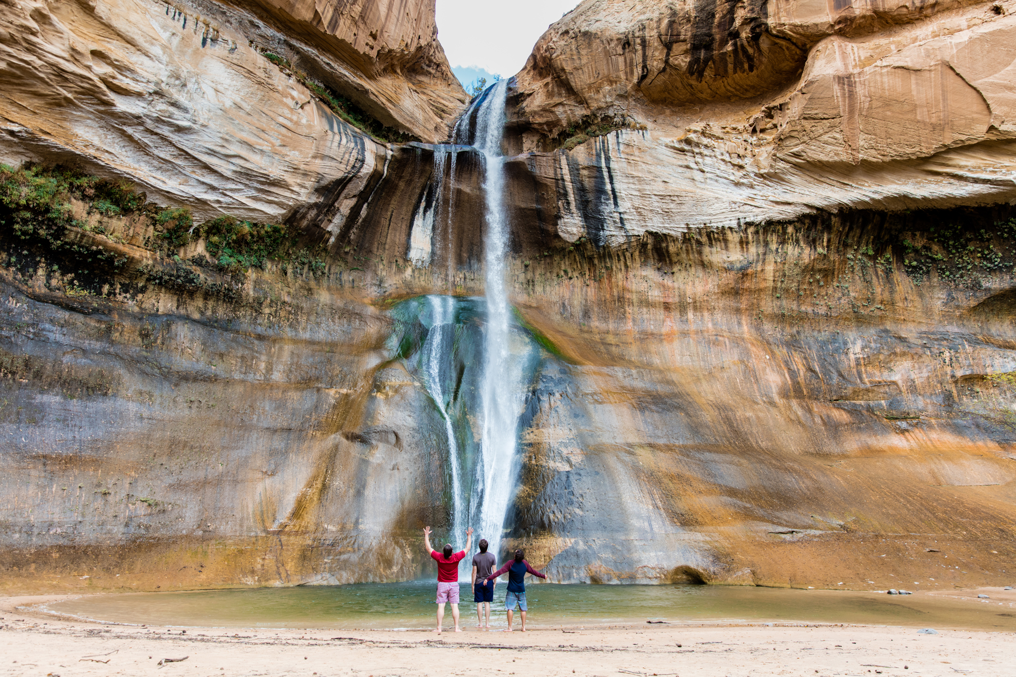
The Calf Creek Falls trip is approximately 2.5 miles in each direction and weaves its way through a rather level stretch of the canyon until it abruptly ends at the falls, which soar 126 feet above the canyon floor.
Calf Creek, which runs through the canyon’s heart, is teeming with fish and beaver. Beavers have built numerous dams along the river to assist manage spring flooding and avoid siltation. As you wander along the stream’s banks, you can see fish darting about the deeper pools.

You’ll come upon a view of enormous pictographs (painted) on the canyon walls about halfway through your journey. These images are big and lifelike, and can be seen from across the canyon (on your right) as you approach the falls.

The elevation at the Campground is 5,346 feet, and the trip has very little elevation change, although the trail is often sandy, making it a little more difficult. The greatest seasons to explore this area are in the spring and autumn, but getting an early start on a hot day is still an option.